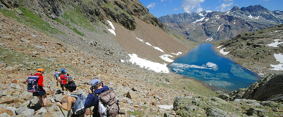
Discover stunning alpine landscapes on one of the many beautiful day walks throughout the valley.
The Aosta Valley is paradise for hikers with numerous walking trails surrounded by 3000 metre summits. Beautiful chapels, delightful hamlets and spectacular mountain vistas await and ancient pathways trodden over the centuries by armies and pilgrims bring a sense of Aosta Valley history to the exceptional natural environment.
A number of itineraries in the Aosta Valley will ensure you discover an extraordinary natural world combined with ancient traditions. The Aosta Valley also posseses many historical routes which include kilometres of footpaths and mule-tracks ranging from Roman and medieval to 19th century structures.
For further info on the hikes below and for other suggestions take a look here.
Day hikes in the Aosta Valley
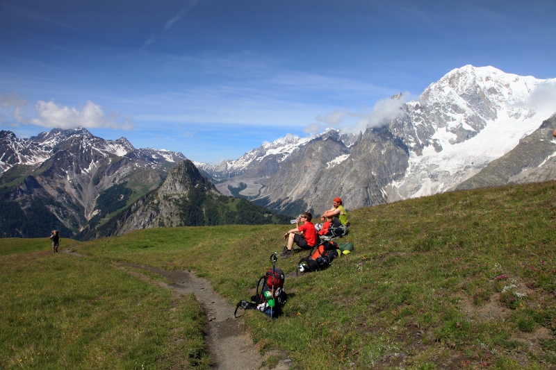
ITINERARY TO THE COL DE LA CROIX (MILITARY ITINERARY – 3 HOURS 15 MINUTES)
From the Col San Carlo a farm road enters the valley of Arpy and, with wide bends and a constant gradient, climbs towards the Col de la Croix (2,380 m), where a long defensive wall develops along the watershed separating the valleys of Arpy and La Thuile. After the pass, the route descends to the Plan Praz (2,057 m) and the trenches of Prince Tommaso (1,762 m), built in 1630 above the village of Theraz.

ITINERARY TO THE COL DE LA COU (MILITARY ITINERARY – 2H 30M – 5 HOURS TO BARD)
The broad mule-track climbs the slope above Arnad, passing the sanctuary and village of Machaby. The route, which ascends with broad curves to the Col de la Cou and then the town of Bard, was created around the 19th century to assist the transport of the material needed to construct the fortifications of the Va valley and subsequently used for troop movements from the fort of Bard to these fortifications.
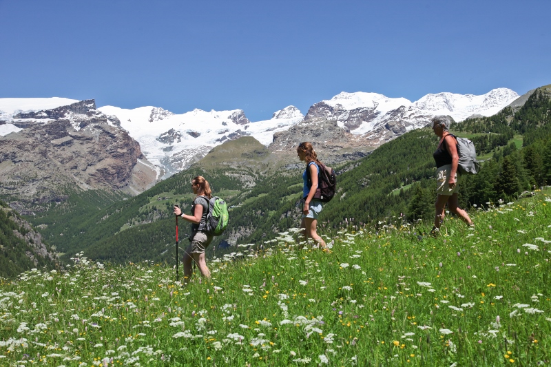
ITINERARY TO THE COL DU MONT (MILITARY ITINERARY – 2H 30M)
During the 17th century, as a defence against repeated French invasions, important passes in the Valgrisenche and the Valdigne were fortified. Among these was the Col du Mont (2,630 m), where a series of small barracks, reused during the Second World War, are still visible. From the road which passes round the lake formed by the dam of Beauregard, the route continues into the valley of the Col du Mont and climbs to the pass (2,630 m).
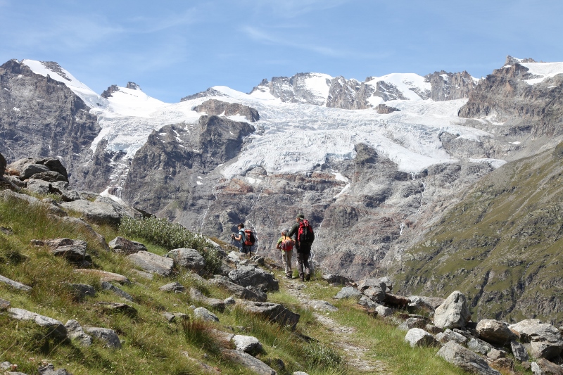
ITINERARY TO THE COL DE LA SEIGNE (MILITARY ITINERARY – 2H)
From Lake Combal an old military road rises to the Elisabetta refuge and the Col de la Seigne (2,514 m), at the head of the Lex-Blanche valley on the border with France. The pass, perhaps already frequented by the Romans, was provided with fortifications and trenches constructed to ward off the repeated incursions of the French armies during the 17th-18th centuries and used again during the Second World War.
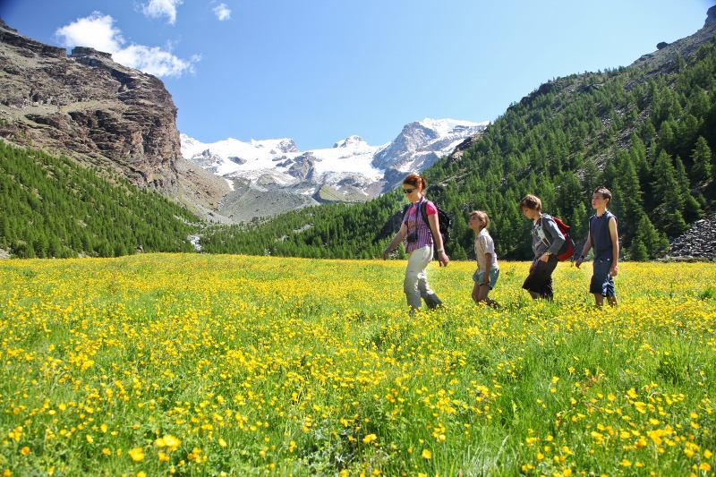
ITINERARY IN THE VALLE DELLA LEGNA (TRANSHUMANCE AND MINING ITINERARY 3H 30M)
The route, which begins near the chapel of Outre-L’Eve and proceeds through the Valle della Legna among meadows and woods, was formerly traversed by traders, especially of cattle, by shepherds and by true transhumance operators. After the pastures of Ourty, Sanavens and Peroisaz, the ancient pathway reaches the Lake of Chilet and, finally, the Colle Santanel (2,463 m), overlooking the Val Soana of Piedmont.
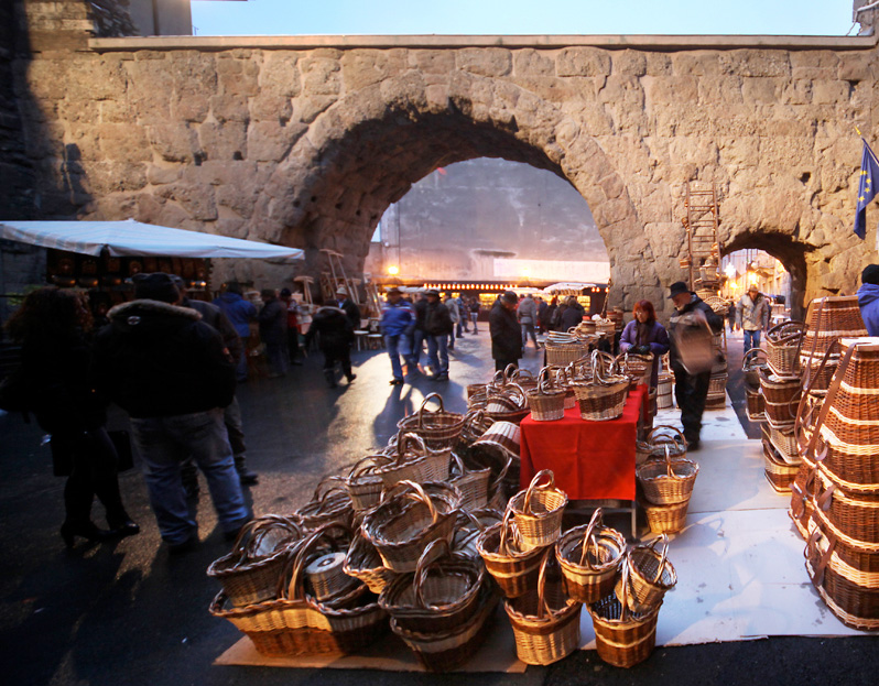
THE WINE ROAD (COMMERCIAL ITINERARY)
Throughout the Middle Ages and until the beginning of the 17th century, before the interruption in communication due to glacial expansion, plague and Protestant reform, long caravans of mules carried wine from the Valle d’Aosta – and elsewhere – to the markets of the upper Rhône valley through the Val d’Ayas and the high passes of the Cime Bianche (2,973 m) and the Teodulo (3,318 m). Part of the Wine Road may now be followed by car.
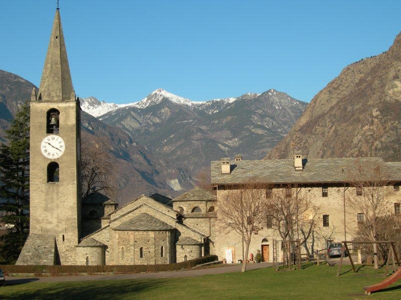
ITINERARY TO THE SANCTUARY OF CUNÉY (RELIGIOUS ITINERARY – 3H 30M)
The route, which begins a little before Porliod, passes the summer pasture of Larset-Damon and the buildings of Plaisan, reaching the alpine pasture of Tsa-de-Fontaney and the Col-du-Salvé (2,568 m), marked by a large wooden cross. The path cuts across the slopes of the Becca-de-Fontaney and after a few turnings reaches the Sanctuary of Cunéy (,2656 m), nesting in a lonely hollow which also contains a small CAI refuge.
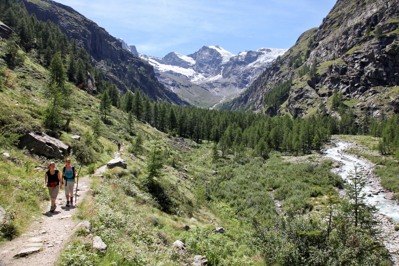
ITINERARY TO THE SANCTUARY OF OROPA (RELIGIOUS ITINERARY – 6H)
It is known that since distant times the Biella area and Oropa were linked to the Valle d’Aosta and Fontainemore. Numerous commercial and cultural exchanges took place between the inhabitants of these places, who used the ancient road through that same Balma pass where, for many centuries, the traditional procession has passed, reaching, after many hours’ walk from the village chapel of Pillaz, the Sanctuary of Oropa.
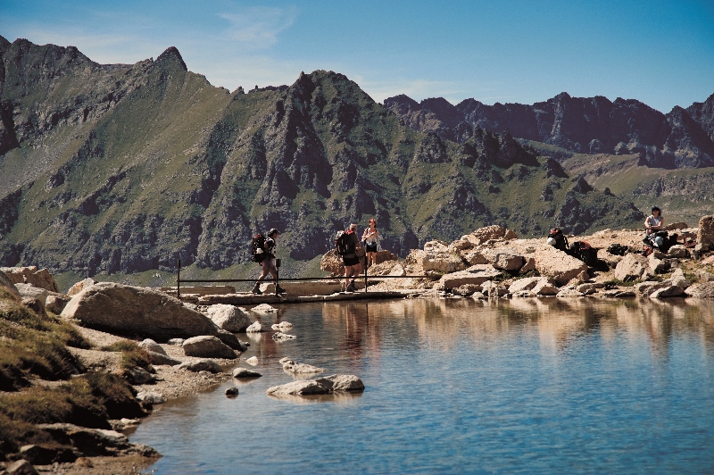
ITINERARY TO THE HUNTING CAMP OF ORVIEILLE (1H 45M)
The ancient pathway, which King Vittorio Emanuele II followed in his carriage, begins from the entrance to the hamlet of Vers-le-Bois and winds through a thick conifer wood, one of the largest in the Parco Nazionale del Gran Paradiso. With many broad curves, the route climbs the mountainside and enters the plateau of Orvieille, the site of the old hunting lodge, a favourite site of the King but razed to the soil many years ago by an avalanche.

